
MEGALITHS > HUNEBED ATLAS > D19

DRENTHE HUNEBED MAP

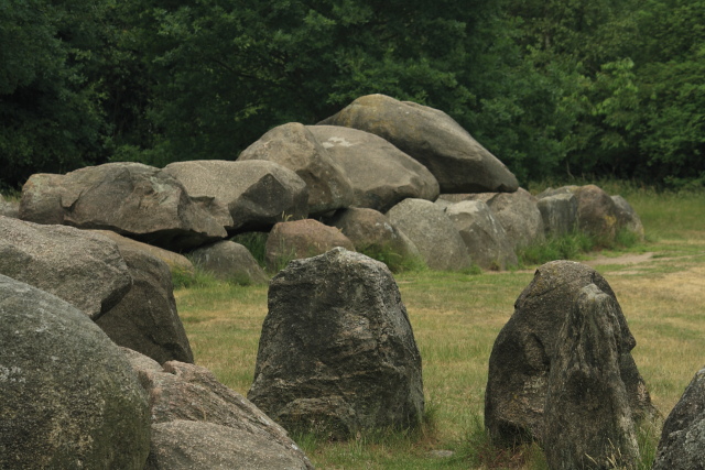
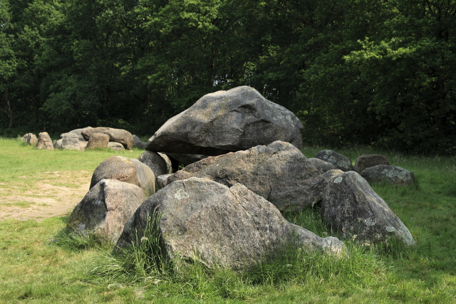
D19 Drouwen
Type: Passage grave with kerbstone enclosure
Size: 15.5 x 3.5 m
Town: Drouwen
Location: Steenhopenweg
Latitude N: 52.952004
Longitude E: 6.785261
Orientation: 63° (90° = E-W)
First reported 1711 Ludolph Smids Schatkamer der Nederlandsse Oudheiden
D19 sits in a large field at the edge of the bush aligned with its larger twin D20. It is the scene of many finds that shed light on the culture of the hunebed builders, and the site gives its name to a key pottery style in the archaeological record, Drouwen ware.
Same group: D20
 Hunebed Map: Photos, info, location maps
About the Megaliths: The Neolithic heritage
Megalith Slideshows: Old stones of Europe
D19 Drouwen
Type: Passage grave with kerbstone enclosure
Size: 15.5 x 3.5 m
Town: Drouwen
Location: Steenhopenweg
Latitude N: 52.952004
Longitude E: 6.785261
Orientation: 63° (90° = E-W)
First reported 1711 Ludolph Smids Schatkamer der Nederlandsse Oudheiden
D19 sits in a large field at the edge of the bush aligned with its larger twin D20. It is the scene of many finds that shed light on the culture of the hunebed builders, and the site gives its name to a key pottery style in the archaeological record, Drouwen ware.
Same group: D20